I/CAD Intelligent Mapping

Enhance the availability and use of location-based information

products_icad_intelligent-mapping_820x460

GIS maps provide insight to call takers, dispatchers, and first responders by geographically tying incidents and data together. I/CAD provides intelligent maps for effective management of events and resources. Administrators can automate and streamline map creation and updates. Dispatchers and field personnel benefit from feature-rich maps displaying data from many sources. Our mapping software enhances the availability and use of location-based information.

Download I/CAD 9.4 Product Sheet

Download I/Map Editor Product Sheet (wrong attachment, size needs to be adjusted)


"Now that we’re using I/Map Editor, we’ve decreased our map roll-out time from days to hours!"

Gary Cilento - System Manager, Abilene Police


Benefits
icon-public-safetyGeospatial Innovation

Rely on our history of innovation, as the first vendor to integrate a map into dispatch workflow.

icon-public-safetyComprehensive Information

Access and view data from multiple sources.

icon-public-safetyHigh-Performing Displays

Leverage fast and reliable map displays.


Products & Capabilities
icon_technology_70x70I/Map Editor

Leveraging GeoMedia, use third-party GIS data as the source of map graphics in I/CAD.

icon_technology_70x70
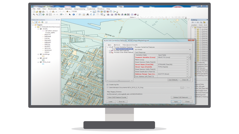
I/MapEditor for ArcGIS

Leveraging Esri’s ArcGIS Platform, enable map production within ArcGIS.

icon_technology_70x70Map Administration Utility

Streamline creation, maintenance, and delivery of maps and supporting files and data.

icon_technology_70x70Multi-Source Maps

Easily connect to multiple map services for high-quality base maps and overlays. Enable real-time views of multiple sources simultaneously.

icon_technology_70x70Intergraph Mobile Responder

Mobile dispatching workflows via native apps for Microsoft Windows, iOS, Android, and Blackberry devices. Simple to deploy, use, and maintain.


Abilene Police

Abilene Police Department integrates map editing solution with computer-aided dispatch system to streamline map maintenance and creation for non-GIS users.

Edmonton Fire Rescue Services

Edmonton Fire Rescue Services uses computer-aided dispatch and integrated map data to reduce response times, costs, and redundant information.

HxGN LIVE Anaheim

HxGN LIVE 2016 is in Anaheim, California! Join us for our annual international conference 13-16 June to discover new and innovative ways to work smarter. Register today


Downloads

Training

Pricing